Physics of Deformation Sources
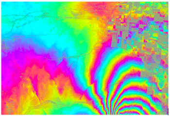
The geophysical approach to studying volcanic and seismic areas is based on the integration of geodetic (GPS and InSAR), seismic, and gravimetric data, which allows for the identification and modeling of deep deformation sources. GPS time series and satellite data precisely measure ground deformations, seismicity helps locate active areas at depth, while gravimetric variations reveal mass changes related to magmatic intrusions or fluid migration.
A notable case is the Campi Flegrei caldera, where ground uplift has been observed since around 2005 and is still ongoing, with rates exceeding 10 cm/year, accompanied by increased seismicity and gas emissions. Integrated data analysis and modeling can help distinguish the effects of deformation sources due to magmatic intrusion from those generated by pressurization and heating of the hydrothermal system.
In active tectonic areas, the interpretation and modeling of geophysical data—taking into account the elastic and poroelastic properties of the medium—enable understanding of the mechanisms that dominate during the co-seismic and post-seismic phases of an earthquake and the evolution of seismic sequences.
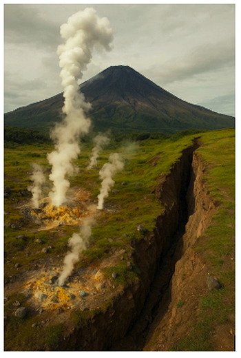
Understanding seismic and volcanic deformation sources is essential for accurate assessment of geophysical risks.